“30 April 1669 was a crucial day for the population of Catania and for the city: under the pressure of the lava flow, a 57-metre-long stretch of wall collapsed between the Bastione degli Infetti and the Bastione del Tindaro, on the edge of the current historic centre. On that tragic day the lava flow entered the city, advancing slowly towards the monastery of San Nicolò l’Arena, reached by the lava between 1 and 5 May, which also entered the south-east sector through the Porta dei Canali.
In those dramatic first days of May, with the lava flow advancing inside the city, the city senate met to discuss the possible abandonment of Catania and the consequent displacement of the town to a new site. There was also an unsuccessful attempt to divert the lava flow to the area of Malopasso by a group of men from Pedara, led by the governor of the town Don Diego Pappalardo.
This pioneering diversion operation involved breaking an embankment of the lava flow channel and was funded by Vicar General Stefano Riggio and the Senate of Catania. Both the Vicar General and the Senate of Catania also organised interventions to contain the lava flow within the city, by constructing dry stone barriers.
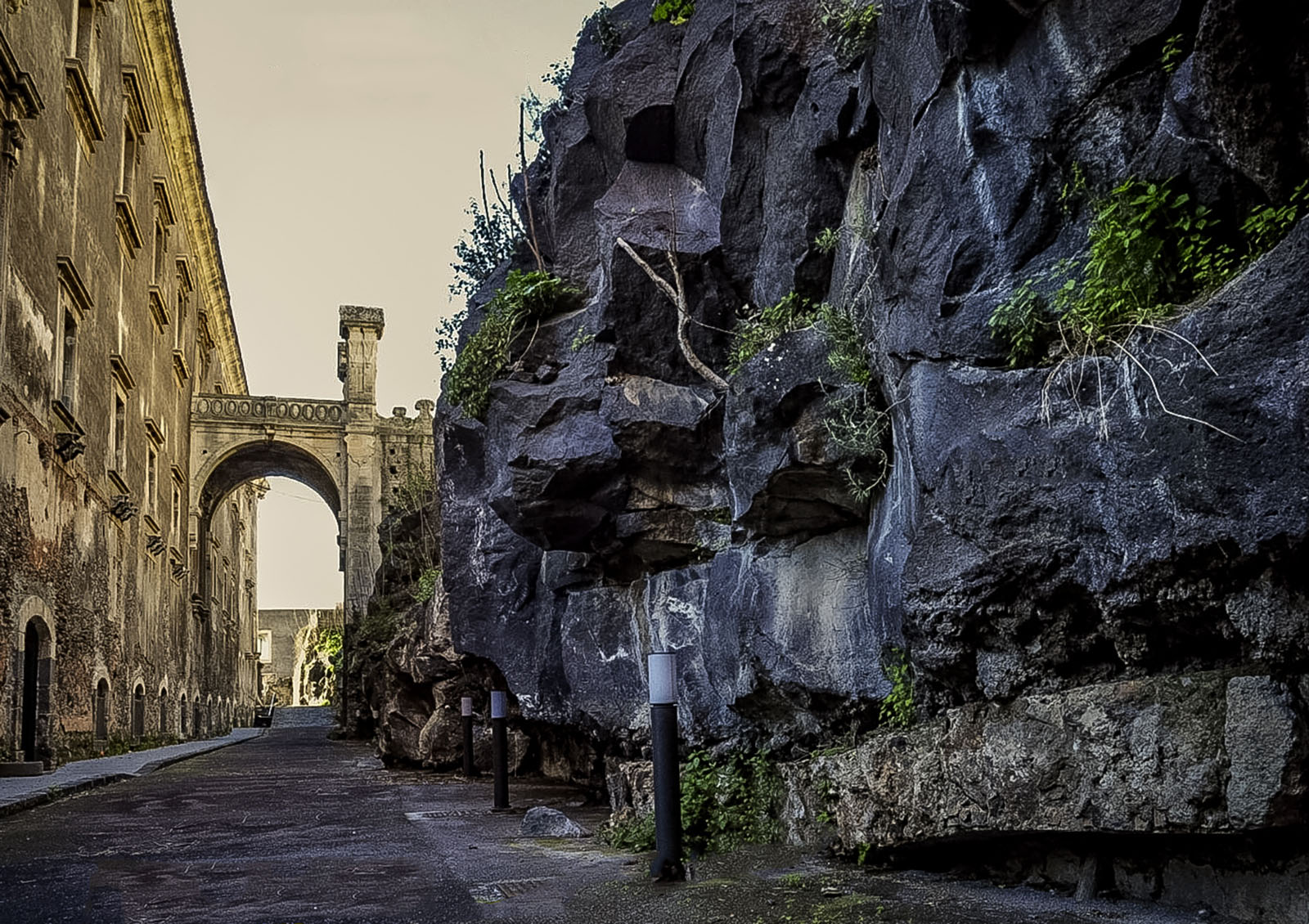
On 8 May the flow stopped, after having destroyed many houses, some noble palaces and several churches. Meanwhile, other lava flows continued to accumulate along the southern sector of the defensive curtain “under the Castle”. In this area on 16 May, at the bastion of San Giorgio, the flow passed the walls and began to pour into the moat of Castello Ursino.
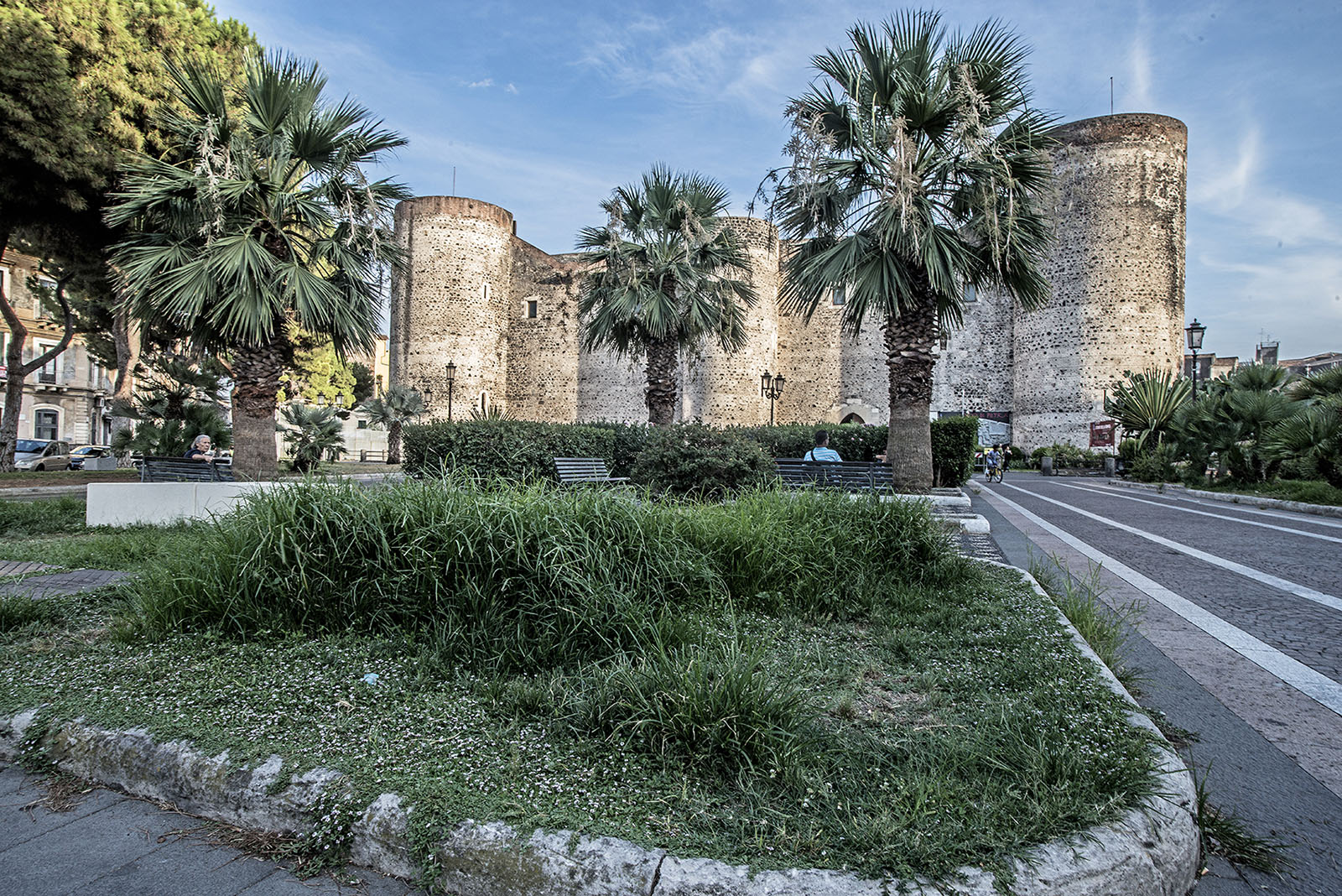
Built in 1239 by Frederick II, Holy Roman Emperor, the castle overlooked the sea from the top of the southern promontory of the city. On 9 June, the flow almost came up to the height of the windows, which were walled up, and the castle was abandoned.
In the following days the destruction of part of the southern sector of the city came to an end. During May and June, the main lava flow, fed by the lava tunnels, continued to flow into the sea, where it formed a lava delta around 1500 metres wide, causing the coastline to move forward by around 800 metres.”